Air Quality Conditions
Is it safe to burn?

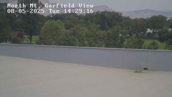
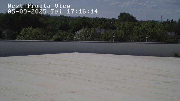
Air quality camera views
The camera views show real-time visibility in Mesa County.
Air quality directly impacts your quality of life
What we do
Mesa County Public Health constantly monitors air quality with forecast models, measurement tools, and observation.
Our team uses this data to inform community members and future policies.
What is Air Quality?
Air quality is a measurement system called AQI (air quality index) developed by the Environmental Protection Agency (EPA) to assign a numerical value to the air quality.
This system takes four major air pollutants into account, ground-level ozone, particle pollution, carbon monoxide, and sulfur dioxide. The higher the AQI, the greater the level of air pollution.
Real-time air quality in Mesa County
Understand the Scale
The higher the Air Quality Index (AQI) value, the greater the level of air pollution and the greater the health concern. The AQI is divided into six (6) categories as listed below. Each category corresponds to a different level of health concern.
Green – good
Yellow – moderate
Orange – unhealthy for sensitive groups
Red – unhealthy
Purple – very unhealthy
Maroon – hazardous
Official State AQI
The State of Colorado's Air Quality page provides the AQI for here in the Grand Valley.
PurpleAir ratings
The Air Quality Index above is useful but only monitors several County-wide sensors.
The PurpleAir map showcases where local volunteers place air sensors on their businesses or homes and provides a second data point for local air quality.
Air Quality Conditions
Community Services Building (Public Health)
510 29 1/2 RoadGrand Junction, CO 81504